
Rocklake topographic map
Interactive map
Click on the map to display elevation.
About this map
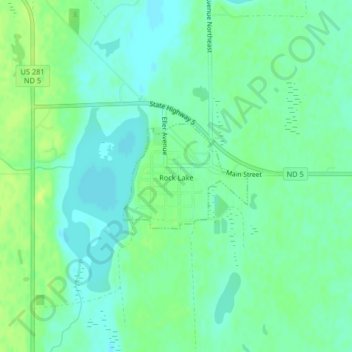
Name: Rocklake topographic map, elevation, terrain.
Location: Rocklake, Towner County, North Dakota, United States (48.78636 -99.25246 48.79442 -99.23798)
Average elevation: 471 m
Minimum elevation: 464 m
Maximum elevation: 479 m