
Thank you for supporting this site ❤️
Make a donation
Make a donation
Maxwell topographic map
Click on the map to display elevation.
Thank you for supporting this site ❤️
Make a donation
Make a donation
About this map
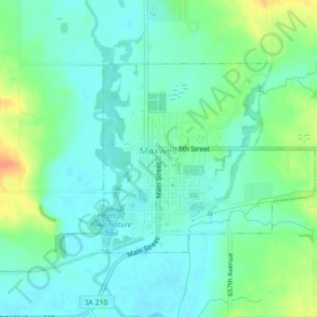
Name: Maxwell topographic map, elevation, terrain.
Location: Maxwell, Story County, Iowa, United States (41.88318 -93.40600 41.89936 -93.38173)
Average elevation: 274 m
Minimum elevation: 261 m
Maximum elevation: 303 m
Thank you for supporting this site ❤️
Make a donation
Make a donation