
Puerto Salgar topographic map
Interactive map
Click on the map to display elevation.
About this map
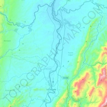
Name: Puerto Salgar topographic map, elevation, terrain.
Location: Puerto Salgar, Bajo Magdalena, Cundinamarca, Colombia (5.38662 -74.67162 5.79438 -74.46708)
Average elevation: 320 m
Minimum elevation: 145 m
Maximum elevation: 1,696 m