
Rufiji topographic map
Interactive map
Click on the map to display elevation.
About this map
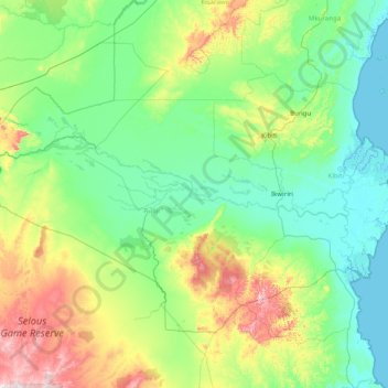
Name: Rufiji topographic map, elevation, terrain.
Location: Rufiji, Pwani, Küstenzone, Tansania (-8.45101 37.83446 -7.46613 39.41003)
Average elevation: 142 m
Minimum elevation: 0 m
Maximum elevation: 749 m
Other topographic maps
Click on a map to view its topography, its elevation and its terrain.