Ribera del Duero topographic map
Interactive map
Click on the map to display elevation.
About this map
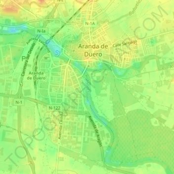
Name: Ribera del Duero topographic map, elevation, terrain.
Average elevation: 800 m
Minimum elevation: 779 m
Maximum elevation: 817 m

Click on the map to display elevation.
Name: Ribera del Duero topographic map, elevation, terrain.
Average elevation: 800 m
Minimum elevation: 779 m
Maximum elevation: 817 m