
Town of Westerlo topographic map
Interactive map
Click on the map to display elevation.
About this map
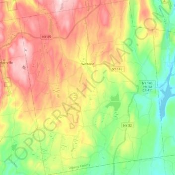
Name: Town of Westerlo topographic map, elevation, terrain.
Location: Town of Westerlo, Albany County, New York, United States (42.42674 -74.11945 42.56558 -73.96333)
Average elevation: 346 m
Minimum elevation: 187 m
Maximum elevation: 542 m
Other topographic maps
Click on a map to view its topography, its elevation and its terrain.