
Península de Yucatán topographic map
Interactive map
Click on the map to display elevation.
About this map
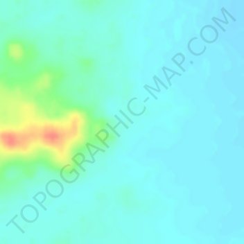
Name: Península de Yucatán topographic map, elevation, terrain.
Location: Península de Yucatán, Othón P. Blanco, Quintana Roo, México (18.84495 -89.12561 18.84505 -89.12551)
Average elevation: 100 m
Minimum elevation: 88 m
Maximum elevation: 142 m
Other topographic maps
Click on a map to view its topography, its elevation and its terrain.