
Itbud topographic map
Click on the map to display elevation.
About this map
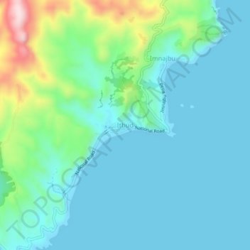
Name: Itbud topographic map, elevation, terrain.
Location: Itbud, Uyugan, Batanes, Cagayan Valley, 3903, Philippines (20.34806 121.94302 20.38806 121.98302)
Average elevation: 70 m
Minimum elevation: 0 m
Maximum elevation: 354 m