
Thank you for supporting this site ❤️
Make a donation
Make a donation
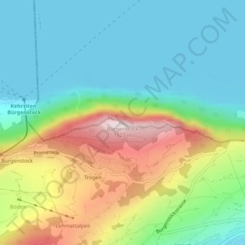
Bürgenstock topographic map
Click on the map to display elevation.
Thank you for supporting this site ❤️
Make a donation
Make a donation
Bürgenstock
On the Dufourkarte (Dufour Map), the topographic map of Switzerland from 1844 to 1864, the mountain ridge as a whole had no name. The highest crest was referred to as Hametschwand.
Thank you for supporting this site ❤️
Make a donation
Make a donation
About this map
Name: Bürgenstock topographic map, elevation, terrain.
Location: Bürgenstock, Ennetbürgen, Nidwalden, 6373, Switzerland (47.00026 8.39828 47.00036 8.39838)
Average elevation: 641 m
Minimum elevation: 431 m
Maximum elevation: 1,096 m
Thank you for supporting this site ❤️
Make a donation
Make a donation