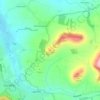
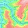
Rodborough topographic map
Click on the map to display elevation.
About this map

Name: Rodborough topographic map, elevation, terrain.
Location: Rodborough, Stroud, Gloucestershire, England, United Kingdom (51.71652 -2.24141 51.74380 -2.19637)
Average elevation: 105 m
Minimum elevation: 30 m
Maximum elevation: 217 m
Other topographic maps
Click on a map to view its topography, its elevation and its terrain.




Pincott
United Kingdom > England > Gloucestershire > Stroud > Upton St. Leonards
Average elevation: 130 m