
Delbarton topographic map
Interactive map
Click on the map to display elevation.
About this map
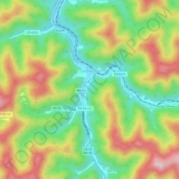
Name: Delbarton topographic map, elevation, terrain.
Location: Delbarton, Mingo County, West Virginia, 25670, United States (37.69260 -82.20008 37.72150 -82.15030)
Average elevation: 377 m
Minimum elevation: 214 m
Maximum elevation: 591 m