
Thank you for supporting this site ❤️
Make a donation
Make a donation
Mill topographic map
Click on the map to display elevation.
Thank you for supporting this site ❤️
Make a donation
Make a donation
About this map
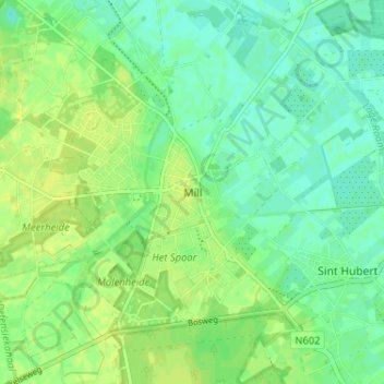
Name: Mill topographic map, elevation, terrain.
Location: Mill, Land van Cuijk, Noord-Brabant, Nederland, 5451, Nederland (51.66632 5.76411 51.70632 5.80411)
Average elevation: 15 m
Minimum elevation: 7 m
Maximum elevation: 22 m
Thank you for supporting this site ❤️
Make a donation
Make a donation