
Thank you for supporting this site ❤️
Make a donation
Make a donation
Traveston topographic map
Click on the map to display elevation.
Thank you for supporting this site ❤️
Make a donation
Make a donation
About this map
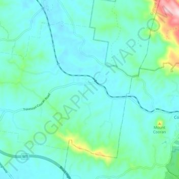
Name: Traveston topographic map, elevation, terrain.
Location: Traveston, Gympie Regional, Queensland, Australia (-26.35139 152.72063 -26.29527 152.80259)
Average elevation: 111 m
Minimum elevation: 57 m
Maximum elevation: 398 m
Thank you for supporting this site ❤️
Make a donation
Make a donation