
Frontera topographic map
Interactive map
Click on the map to display elevation.
About this map
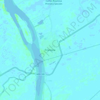
Name: Frontera topographic map, elevation, terrain.
Location: Frontera, Centla, Tabasco, 86750, México (18.49218 -92.68614 18.57218 -92.60614)
Average elevation: 1 m
Minimum elevation: -4 m
Maximum elevation: 16 m