
Machangara topographic map
Interactive map
Click on the map to display elevation.
About this map
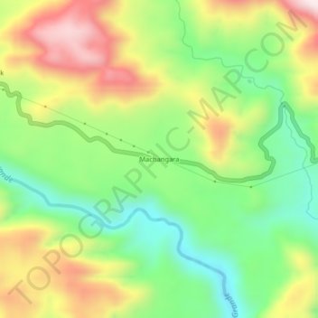
Name: Machangara topographic map, elevation, terrain.
Location: Machangara, Cotundo, Archidona, Napo, Ecuador (-0.74494 -77.71790 -0.70494 -77.67790)
Average elevation: 1,116 m
Minimum elevation: 877 m
Maximum elevation: 1,436 m
Other topographic maps
Click on a map to view its topography, its elevation and its terrain.