
Chota topographic map
Interactive map
Click on the map to display elevation.
About this map
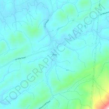
Name: Chota topographic map, elevation, terrain.
Location: Chota, Blount County, Tennessee, USA (35.59703 -84.05685 35.63703 -84.01685)
Average elevation: 320 m
Minimum elevation: 265 m
Maximum elevation: 634 m