
Coatesville topographic map
Interactive map
Click on the map to display elevation.
About this map
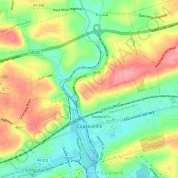
Name: Coatesville topographic map, elevation, terrain.
Average elevation: 140 m
Minimum elevation: 90 m
Maximum elevation: 203 m
Other topographic maps
Click on a map to view its topography, its elevation and its terrain.
Beaver Creek Dam
United States > Pennsylvania > Chester County > West Whiteland Township
Average elevation: 139 m