
Tanato topographic map
Click on the map to display elevation.
About this map
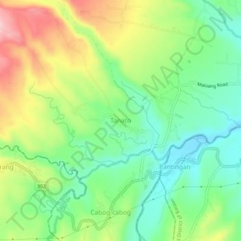
Name: Tanato topographic map, elevation, terrain.
Location: Tanato, Balanga, Bataan, Central Luzon, Philippines (14.62073 120.44974 14.66073 120.48974)
Average elevation: 132 m
Minimum elevation: 50 m
Maximum elevation: 262 m
Other topographic maps
Click on a map to view its topography, its elevation and its terrain.