
Thank you for supporting this site ❤️
Make a donation
Make a donation
Huainan City topographic map
Click on the map to display elevation.
Thank you for supporting this site ❤️
Make a donation
Make a donation
About this map
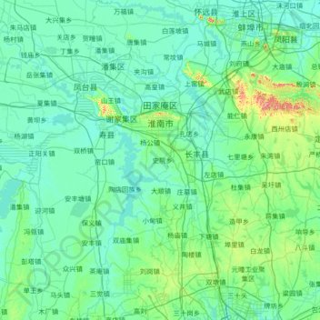
Name: Huainan City topographic map, elevation, terrain.
Location: Huainan City, Anhui, China (31.90218 116.35355 33.00702 117.20786)
Average elevation: 40 m
Minimum elevation: 3 m
Maximum elevation: 332 m
Thank you for supporting this site ❤️
Make a donation
Make a donation
Other topographic maps
Click on a map to view its topography, its elevation and its terrain.