
Thank you for supporting this site ❤️
Make a donation
Make a donation
Wielingen topographic map
Click on the map to display elevation.
Thank you for supporting this site ❤️
Make a donation
Make a donation
About this map
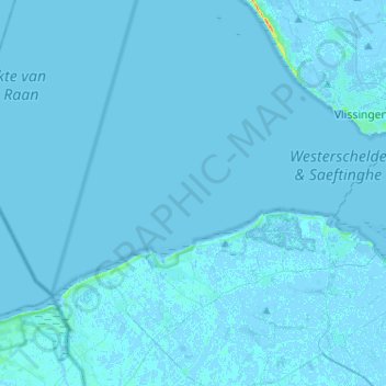
Name: Wielingen topographic map, elevation, terrain.
Location: Wielingen, Vlissingen, Zeeland, Nederland (51.39957 3.30367 51.43085 3.56102)
Average elevation: 0 m
Minimum elevation: -3 m
Maximum elevation: 38 m
Thank you for supporting this site ❤️
Make a donation
Make a donation
Other topographic maps
Click on a map to view its topography, its elevation and its terrain.