
Shambala topographic map
Interactive map
Click on the map to display elevation.
About this map
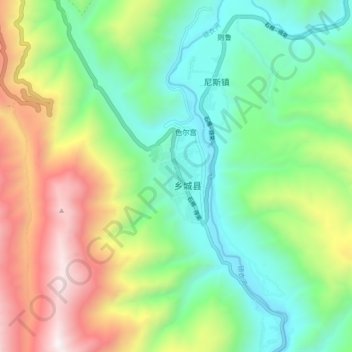
Name: Shambala topographic map, elevation, terrain.
Location: Shambala, Xiangcheng County, Sichuan, 627850, China (28.89536 99.75826 28.97536 99.83826)
Average elevation: 3,379 m
Minimum elevation: 2,726 m
Maximum elevation: 4,592 m