
Thank you for supporting this site ❤️
Make a donation
Make a donation
Owhango topographic map
Click on the map to display elevation.
Thank you for supporting this site ❤️
Make a donation
Make a donation
About this map
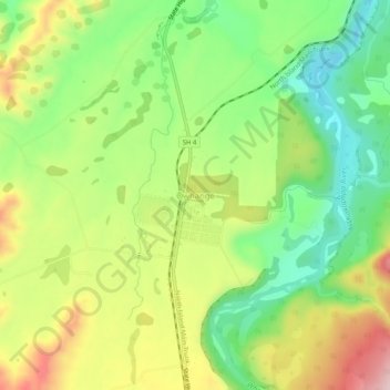
Name: Owhango topographic map, elevation, terrain.
Location: Owhango, Ruapehu District, Manawatu-Whanganui, New Zealand (-39.01596 175.35954 -38.97596 175.39954)
Average elevation: 430 m
Minimum elevation: 317 m
Maximum elevation: 580 m
Ruapehu District trails, hiking, mountain biking, running and outdoor activities
Thank you for supporting this site ❤️
Make a donation
Make a donation