
Derya Boyi topographic map
Interactive map
Click on the map to display elevation.
About this map
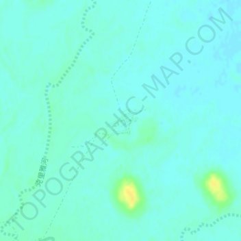
Name: Derya Boyi topographic map, elevation, terrain.
Location: Derya Boyi, Keriya County, Hotan Prefecture, Xinjiang, China (38.35805 81.86316 38.36140 81.86910)
Average elevation: 1,187 m
Minimum elevation: 1,182 m
Maximum elevation: 1,204 m