
Bunia topographic map
Interactive map
Click on the map to display elevation.
About this map
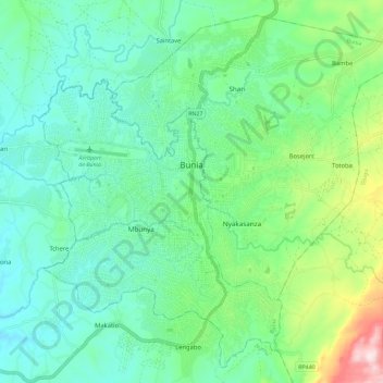
Name: Bunia topographic map, elevation, terrain.
Location: Bunia, Orientale, Ituri, Democratic Republic of the Congo (1.50350 30.20228 1.60705 30.31717)
Average elevation: 1,280 m
Minimum elevation: 1,162 m
Maximum elevation: 1,649 m
Other topographic maps
Click on a map to view its topography, its elevation and its terrain.