
Thank you for supporting this site ❤️
Make a donation
Make a donation
Masawata topographic map
Click on the map to display elevation.
Thank you for supporting this site ❤️
Make a donation
Make a donation
About this map
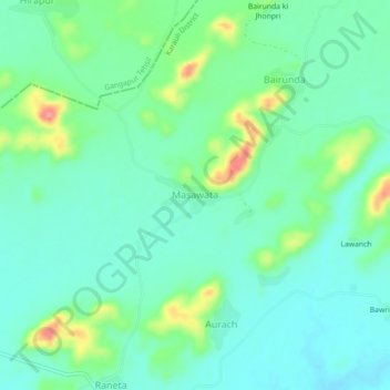
Name: Masawata topographic map, elevation, terrain.
Location: Masawata, Sapotra Tehsil, Karauli District, Rajasthan, India (26.32017 76.66152 26.36017 76.70152)
Average elevation: 256 m
Minimum elevation: 231 m
Maximum elevation: 325 m
Thank you for supporting this site ❤️
Make a donation
Make a donation