
Make a donation
Badwater Basin topographic map
Click on the map to display elevation.
Make a donation
Badwater Basin
The pool is not the lowest point of the basin: the lowest point (which is only slightly lower) is several miles to the west and varies in position, depending on rainfall and evaporation patterns. The salt flats are hazardous to traverse (in many cases being only a thin white crust over mud), and so the sign marking the low point is at the pool instead. The basin was considered the lowest elevation in the Western Hemisphere until the discovery of Laguna del Carbón in Argentina at −344 ft (−105 m).
Make a donation
About this map
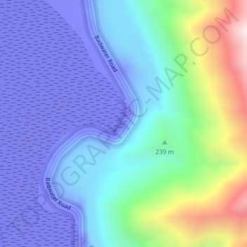
Name: Badwater Basin topographic map, elevation, terrain.
Location: Badwater Basin, Inyo County, California, United States (36.22999 -116.76767 36.23055 -116.76716)
Average elevation: 152 m
Minimum elevation: -84 m
Maximum elevation: 914 m
Make a donation
Other topographic maps
Click on a map to view its topography, its elevation and its terrain.