
Thank you for supporting this site ❤️
Make a donation
Make a donation
Songculan topographic map
Click on the map to display elevation.
Thank you for supporting this site ❤️
Make a donation
Make a donation
About this map
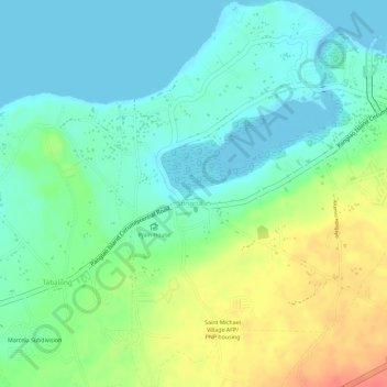
Name: Songculan topographic map, elevation, terrain.
Location: Songculan, Dauis, Bohol, Central Visayas, 6339, Philippines (9.61565 123.82420 9.64402 123.84560)
Average elevation: 22 m
Minimum elevation: -4 m
Maximum elevation: 60 m
Thank you for supporting this site ❤️
Make a donation
Make a donation