
Kantou topographic map
Interactive map
Click on the map to display elevation.
About this map
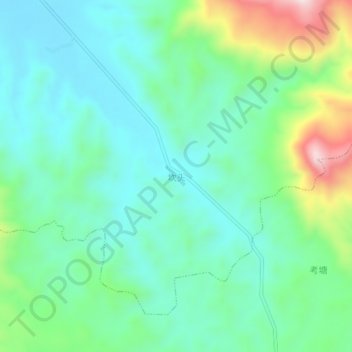
Name: Kantou topographic map, elevation, terrain.
Location: Kantou, Pinghe County, Zhangzhou City, Fujian, China (24.17670 117.36491 24.21670 117.40491)
Average elevation: 196 m
Minimum elevation: 75 m
Maximum elevation: 539 m