
Gangga topographic map
Interactive map
Click on the map to display elevation.
About this map
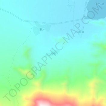
Name: Gangga topographic map, elevation, terrain.
Location: Gangga, Lhasa, Tibet, China (29.86176 91.12667 29.90176 91.16667)
Average elevation: 3,928 m
Minimum elevation: 3,798 m
Maximum elevation: 4,411 m