
Huntington Beach State Park topographic map
Interactive map
Click on the map to display elevation.
About this map
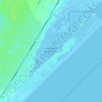
Name: Huntington Beach State Park topographic map, elevation, terrain.
Average elevation: 2 m
Minimum elevation: -4 m
Maximum elevation: 11 m
Other topographic maps
Click on a map to view its topography, its elevation and its terrain.
Brookgreen Gardens
United States > South Carolina > Georgetown County > Murrells Inlet
Brookgreen Gardens, Murrells Inlet, Georgetown County, South Carolina, United States
Average elevation: 4 m