
Unorganized North Algoma topographic map
Interactive map
Click on the map to display elevation.
About this map
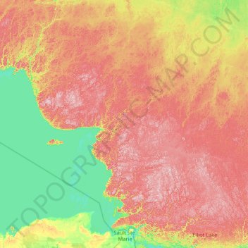
Name: Unorganized North Algoma topographic map, elevation, terrain.
Location: Unorganized North Algoma, Algoma District, Ontario, Canada (46.23042 -85.33366 49.70986 -81.94476)
Average elevation: 318 m
Minimum elevation: 174 m
Maximum elevation: 636 m