
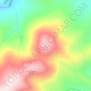
Bulg topographic map
Interactive map
Click on the map to display elevation.
About this map
Name: Bulg topographic map, elevation, terrain.
Location: Bulg, Angus, Schottland, DD9 7YW, Vereinigtes Königreich (56.87431 -2.75014 56.87441 -2.75004)
Average elevation: 386 m
Minimum elevation: 153 m
Maximum elevation: 627 m