
Sjusjøen topographic map
Interactive map
Click on the map to display elevation.
About this map
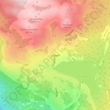
Name: Sjusjøen topographic map, elevation, terrain.
Location: Sjusjøen, Ringsaker, Innlandet, 2612, Norway (61.13277 10.67204 61.17277 10.71204)
Average elevation: 854 m
Minimum elevation: 677 m
Maximum elevation: 1,000 m
Other topographic maps
Click on a map to view its topography, its elevation and its terrain.