
Kętrzyn topographic map
Interactive map
Click on the map to display elevation.
About this map
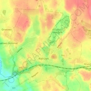
Name: Kętrzyn topographic map, elevation, terrain.
Location: Kętrzyn, powiat kętrzyński, Varmie-Mazurie, Pologne (54.06123 21.34487 54.10341 21.40527)
Average elevation: 105 m
Minimum elevation: 68 m
Maximum elevation: 132 m