
Thank you for supporting this site ❤️
Make a donation
Make a donation
Reno topographic map
Click on the map to display elevation.
Thank you for supporting this site ❤️
Make a donation
Make a donation
About this map
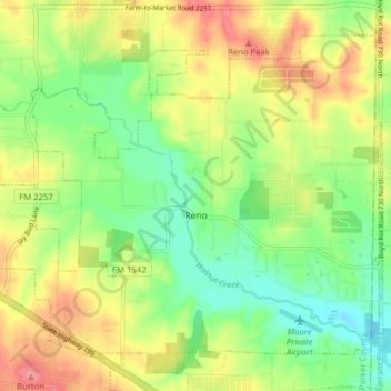
Name: Reno topographic map, elevation, terrain.
Location: Reno, Parker County, Texas, United States (32.92045 -97.62218 32.97482 -97.54357)
Average elevation: 233 m
Minimum elevation: 198 m
Maximum elevation: 276 m
Thank you for supporting this site ❤️
Make a donation
Make a donation