
Thank you for supporting this site ❤️
Make a donation
Make a donation
Rakaia topographic map
Click on the map to display elevation.
Thank you for supporting this site ❤️
Make a donation
Make a donation
About this map
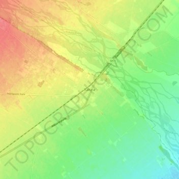
Name: Rakaia topographic map, elevation, terrain.
Location: Rakaia, Ashburton District, Canterbury, 7710, New Zealand (-43.79670 171.98368 -43.71670 172.06368)
Average elevation: 105 m
Minimum elevation: 75 m
Maximum elevation: 141 m
Ashburton District trails, hiking, mountain biking, running and outdoor activities
Thank you for supporting this site ❤️
Make a donation
Make a donation
Other topographic maps
Click on a map to view its topography, its elevation and its terrain.