
Twijzelerheide topographic map
Interactive map
Click on the map to display elevation.
About this map
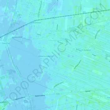
Name: Twijzelerheide topographic map, elevation, terrain.
Location: Twijzelerheide, Achtkarspelen, Friesland, Nederland (53.22578 6.01979 53.24856 6.07911)
Average elevation: 2 m
Minimum elevation: -2 m
Maximum elevation: 7 m