
Thank you for supporting this site ❤️
Make a donation
Make a donation
Paddenpoel topographic map
Click on the map to display elevation.
Thank you for supporting this site ❤️
Make a donation
Make a donation
About this map
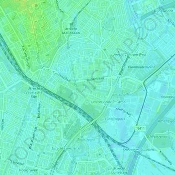
Name: Paddenpoel topographic map, elevation, terrain.
Location: Paddenpoel, Abstede, Utrecht, Nederland (52.07805 5.13515 52.07825 5.13582)
Average elevation: 5 m
Minimum elevation: 1 m
Maximum elevation: 12 m
Thank you for supporting this site ❤️
Make a donation
Make a donation
Other topographic maps
Click on a map to view its topography, its elevation and its terrain.