
Thank you for supporting this site ❤️
Make a donation
Make a donation
Djeniene Bourezg topographic map
Click on the map to display elevation.
Thank you for supporting this site ❤️
Make a donation
Make a donation
About this map
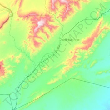
Name: Djeniene Bourezg topographic map, elevation, terrain.
Location: Djeniene Bourezg, Moghrar District, Naâma, Algeria (32.14553 -1.13354 32.56894 -0.69265)
Average elevation: 1,103 m
Minimum elevation: 777 m
Maximum elevation: 2,186 m
Thank you for supporting this site ❤️
Make a donation
Make a donation