
Domolok topographic map
Interactive map
Click on the map to display elevation.
About this map
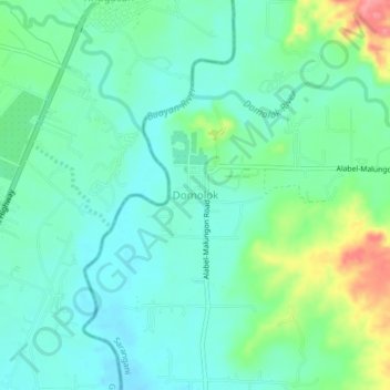
Name: Domolok topographic map, elevation, terrain.
Location: Domolok, Sarangani, 9501, Philippines (6.17093 125.22688 6.21093 125.26688)
Average elevation: 47 m
Minimum elevation: 22 m
Maximum elevation: 116 m
Other topographic maps
Click on a map to view its topography, its elevation and its terrain.