
Thank you for supporting this site ❤️
Make a donation
Make a donation
Spear topographic map
Click on the map to display elevation.
Thank you for supporting this site ❤️
Make a donation
Make a donation
About this map
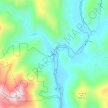
Name: Spear topographic map, elevation, terrain.
Location: Spear, Avery County, North Carolina, 28664, United States (36.00235 -82.04373 36.04235 -82.00373)
Average elevation: 1,028 m
Minimum elevation: 854 m
Maximum elevation: 1,455 m
Thank you for supporting this site ❤️
Make a donation
Make a donation
Other topographic maps
Click on a map to view its topography, its elevation and its terrain.