
Thank you for supporting this site ❤️
Make a donation
Make a donation
Perry Lake Heights topographic map
Click on the map to display elevation.
Thank you for supporting this site ❤️
Make a donation
Make a donation
About this map
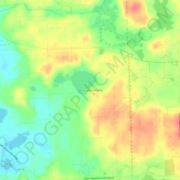
Name: Perry Lake Heights topographic map, elevation, terrain.
Average elevation: 317 m
Minimum elevation: 290 m
Maximum elevation: 342 m
Thank you for supporting this site ❤️
Make a donation
Make a donation
Other topographic maps
Click on a map to view its topography, its elevation and its terrain.
White Lake
United States > Michigan > Oakland County > White Lake Charter Township
Average elevation: 314 m
Thank you for supporting this site ❤️
Make a donation
Make a donation