
Thank you for supporting this site ❤️
Make a donation
Make a donation
Lebo topographic map
Click on the map to display elevation.
Thank you for supporting this site ❤️
Make a donation
Make a donation
About this map
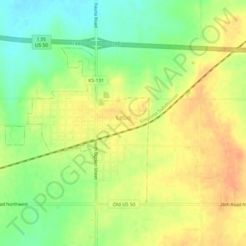
Name: Lebo topographic map, elevation, terrain.
Location: Lebo, Coffey County, Kansas, United States (38.40474 -95.89169 38.42703 -95.84856)
Average elevation: 351 m
Minimum elevation: 330 m
Maximum elevation: 366 m
Thank you for supporting this site ❤️
Make a donation
Make a donation