
Thank you for supporting this site ❤️
Make a donation
Make a donation
Shelbina topographic map
Click on the map to display elevation.
Thank you for supporting this site ❤️
Make a donation
Make a donation
About this map
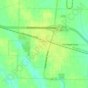
Name: Shelbina topographic map, elevation, terrain.
Location: Shelbina, Shelby County, Missouri, 63468, United States (39.68211 -92.05713 39.70407 -92.02469)
Average elevation: 233 m
Minimum elevation: 223 m
Maximum elevation: 238 m
Thank you for supporting this site ❤️
Make a donation
Make a donation