
Zengwen Dam topographic map
Interactive map
Click on the map to display elevation.
Zengwen Dam
Construction finally began at the Lioutengtan site on October 31, 1967. Two tunnels were excavated through the rock underneath the south abutment of the future dam site. The outer diversion tunnel was 1,240-metre (4,070 ft) long and the inner diversion tunnel was 1,038-metre (3,406 ft). A rolled-earth embankment cofferdam was constructed to divert the Zengwen River and protect the dam site from flooding, up to an elevation of 165 metres (541 ft).
About this map
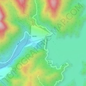
Name: Zengwen Dam topographic map, elevation, terrain.
Average elevation: 290 m
Minimum elevation: 99 m
Maximum elevation: 626 m