
Thank you for supporting this site ❤️
Make a donation
Make a donation
Johnson Hill topographic map
Click on the map to display elevation.
Thank you for supporting this site ❤️
Make a donation
Make a donation
About this map
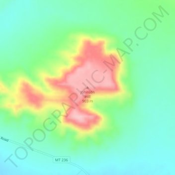
Name: Johnson Hill topographic map, elevation, terrain.
Location: Johnson Hill, Chouteau County, Montana, United States (47.76715 -109.64385 47.76725 -109.64375)
Average elevation: 802 m
Minimum elevation: 750 m
Maximum elevation: 904 m
Thank you for supporting this site ❤️
Make a donation
Make a donation