
Thank you for supporting this site ❤️
Make a donation
Make a donation
Douglas topographic map
Click on the map to display elevation.
Thank you for supporting this site ❤️
Make a donation
Make a donation
About this map
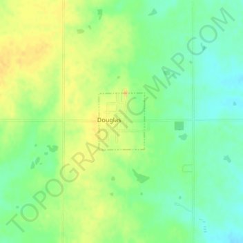
Name: Douglas topographic map, elevation, terrain.
Location: Douglas, Garfield County, Oklahoma, United States (36.25723 -97.67067 36.26357 -97.66433)
Average elevation: 343 m
Minimum elevation: 329 m
Maximum elevation: 355 m
Thank you for supporting this site ❤️
Make a donation
Make a donation
Other topographic maps
Click on a map to view its topography, its elevation and its terrain.