
Macraes topographic map
Click on the map to display elevation.
About this map
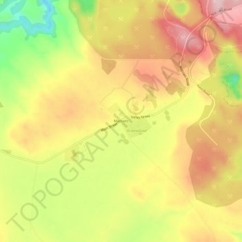
Name: Macraes topographic map, elevation, terrain.
Location: Macraes, Waitaki District, Otago, New Zealand (-45.40216 170.40903 -45.36216 170.44903)
Average elevation: 503 m
Minimum elevation: 374 m
Maximum elevation: 598 m
Waitaki District trails, hiking, mountain biking, running and outdoor activities