
Mesa topographic map
Interactive map
Click on the map to display elevation.
About this map
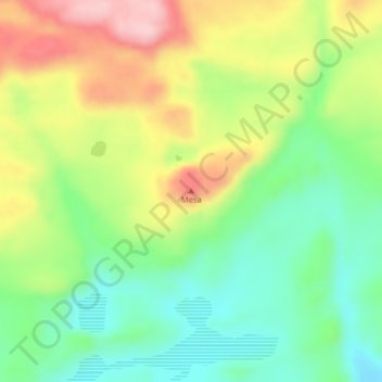
Name: Mesa topographic map, elevation, terrain.
Location: Mesa, Lago Buenos Aires, Santa Cruz Province, Argentina (-47.25971 -71.67209 -47.25961 -71.67199)
Average elevation: 475 m
Minimum elevation: 389 m
Maximum elevation: 597 m
Other topographic maps
Click on a map to view its topography, its elevation and its terrain.