
Ray City topographic map
Interactive map
Click on the map to display elevation.
About this map
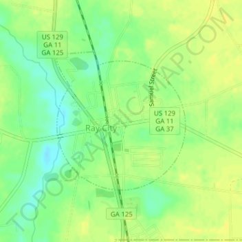
Name: Ray City topographic map, elevation, terrain.
Location: Ray City, Berrien County, Georgia, United States (31.06786 -83.20547 31.08332 -83.18856)
Average elevation: 60 m
Minimum elevation: 47 m
Maximum elevation: 68 m